Organization Name / Organize By
FineResults Research Services
Organizing/Related Departments
Course Coordinator :FineResults Research Services
Organization Type
Organization
Training or Development ClassCategory
Both (Technical & Non Technical)
Training or Development ClassLevel
International
Related Industries
Education/Teaching/Training/Development
Business Development
Social Sciences
Administration/Management
Location
Westlands, Nairobi, Kenya
Dear all,
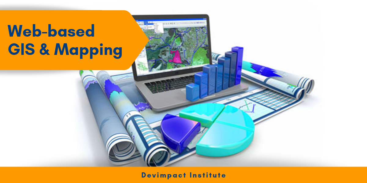
RE: Web-based GIS and Mapping Training Course
FineResults Research Services would like to invite you to high impact training on Web-based GIS and Mapping Training Course to be held in Nairobi from 17/08/2020 to 28/08/2020
COURSE PROFILE
Course Name: Web-based GIS and Mapping Training Course
Date: 17/08/2020 to 28/08/2020
Duration: 10 Days
Venue: FineResults Research Training Centre, Nairobi, Kenya
Cost: USD 1600
Online Registration: REGISTER HERE
INTRODUCTION
Web mapping focuses on disseminating and processing geographic information by means of Internet and World Wide Web. Combination of the web and GIS (Geographic Information Systems) has unlocked the potential of GIS, and put online maps and geospatial intelligence in the offices/homes of millions and the hands of billions. The increasing flexibility and interoperability of web mapping technologies has opened new opportunities for Web Based Mappers. Both non-GIS users and GIS experts can do more now, than ever to share maps over the internet. Web maps can easily deliver up to date information,maps are generated automatically from databases, and they can display information in almost real-time. They don't need to be printed, mastered and distributed. Web GIS has immense applicability to e-government, e-business, e-science, and all aspects of daily life. Government employees can utilize Web GIS to improve public services delivery and boost collaboration across agencies.Regardless of the sector, businesses can use Web GIS to enhance their existing business models and create new ones. Researchers can find new solutions to meet the challenges of the new frontiers. Web GIS has great practical value to our world today and into the future.
DURATION
10 days
LEARNING OBJECTIVES
- To understand the importance of web services and to give you some experience making web maps with FOSS and open standards
- Acquire skills how to make different types of web map
- Understanding spatial databases
- Learn how to publish maps online using open source software (Carto DB, fusion Tables, Geoserver).
- Able to Read Data from various Data source
- Processing spatial data with FOSS
- Drawing and querying maps on the server using Web Map Service
- Putting layers together with a web mapping API
- Learn how to Explore open data, VGI, and crowdsourcing
COURSE OUTLINE
Module 1
Introduction to key concepts in Web mapping
- Introductions to principles and concepts of GIS and web mapping
- Understanding OGC web mapping Standards
- Web GIS development cycle
- Evolution and types of web mapping Technology
- System architecture for web mapping
- Understanding Free and Open Source Software and its use in web mapping
- Exploring QGIS as an open source software
- Find and share web maps on CartoDB
Module 2
Web Mapping Technologies
- Understanding spatial databases
- Tiled web map
- WMS service
- HTML
- XML/XHTM
- CSS
- Java script
- Write a page using HTML and CSS
Module 3
Designing web services and web maps using free open source software
- System architecture for web mapping
- Elements of a web map
- Analytic web maps
- Animated and real time
- Collaborative web maps
- Static web maps
Module 4
Reading Data from various Data source
- Converting shapefiles to XML
- Reading Points from an XML file
- Adding Side bars
- KML
- Using Fusion Table as Data source
- Geocoding and reverse geocording
- Ajax
- Reading shapefiles using javascript libraries
- Mapping your own data
Module 5
Processing spatial data with Free Open Source Software
- Understanding data formats for use in web mapping
- Processing spatial data with Free Open source Software
- geo-processing and projecting vector data with QGIS and OGR
- Processing raster data set with QGIS and GDAL
Module 6
Drawing and querying maps on the server using Web Map Service
- Dynamically drawn map services
- Introduction to basics of Open specifications for web map services and WMS specification
- Basic and advanced styling and symbolization with a WMS
Module 7
Building tiled maps with Free Open Source Software
- Introduction to Concepts of tiled maps
- Making the decision to build and maintain tiles
- Strategies for creating and serving map tiles
- Creating tiles with GeoServer using GeoWebCache
- Creating tiles with Mapnik using TileMill
Module 8
Putting layers together with a web mapping API
- Introduction to web mapping API
- Programming patterns with web mapping APIs
- Examining OpenLayers examples
- Overlaying a WMS on a tiled map with OpenLayers
Google Maps API
- Introduction to google maps
- Creating Custom Web maps without programming
- Orientation to Google maps API
- Building Google maps/ customization
- Adding Makers to Google maps
Module 9
Web based data editing
- drawing vector layers on the client side
- Working with vector KML
- Working with GeoJSON
- Symbolizing vector layers in OpenLayers
- Adding interactive GeoJSON layers in OpenLayers
- GIS analysis on the web
- OpenStreetMap and its application in open data
- Downloading source data from OpenStreetMap
Module 10
Publishing maps using open source softwares (Geoserver)
- Overview Geoserver
- Installing and configuring Geoserver
- Setting up Geosever
- The Geoserver Interface
- Publishing maps in Geoserver
- Data querying in Geoserver
ACCOMMODATION
Accommodation is arranged upon request. For reservations contact us through Mobile: +254 759 285 295 or Email: [email protected]
PAYMENT
Payment should be transferred to FineResults Research Limited bank before commencement of training. Send proof of payment through the email: [email protected]
CANCELLATION POLICY
• All requests for cancellations must be received in writing.
• Changes will become effective on the date of written confirmation being received.
GENERAL NOTES
- All our courses can be Tailor-made to participants needs
- The participant must be conversant with English
- Presentations are well guided, practical exercise, web based tutorials and group work. Our facilitators are expert with more than 10years of experience.
- Upon completion of training the participant will be issued with FineResults Research Services certificate
- Training will be done at FineResults Research Services center in Nairobi Kenya. We also offer more than five participants training at requested location within Kenya, more than ten participants within east Africa and more than twenty participants all over the world.
- Course duration is flexible and the contents can be modified to fit any number of days.
- The course fee includes facilitation training materials, 2 coffee breaks, buffet lunch and a Certificate of successful completion of Training. Participants will be responsible for their own travel expenses and arrangements, airport transfers, visa application dinners, health/accident insurance and other personal expenses.
- One year free Consultation and Coaching provided after the course.
- Register as a group of more than two and enjoy discount of (10% to 30%) plus free four hour adventure drive to the National game park, in Nairobi.
Visit our website for more details
How to participate
Individual Registration
Contact information
Email: [email protected]
TEL: +254 759 285 295
Website: fineresultsresearch.org/training/
Visit our face book page
Visit our linkedin page
Visit our twitter account
Others Details
CANCELLATION POLICY
• All requests for cancellations must be received in writing.
• Changes will become effective on the date of written confirmation being received.
Registration Fees
Available
Registration Fees Details
usd 1600
Registration Ways
Email
Phone
Website
Address/Venue
FineResults Research Training Centre, Nairobi, Kenya
Pin/Zip Code : Nairobi kenya