
- TypeTraining or Development Class

- Location Nairobi, Nairobi County,Nairobi,Kenya

- Date 17-10-2022 - 21-10-2022
Education/Teaching/Training/Development
Information Technology
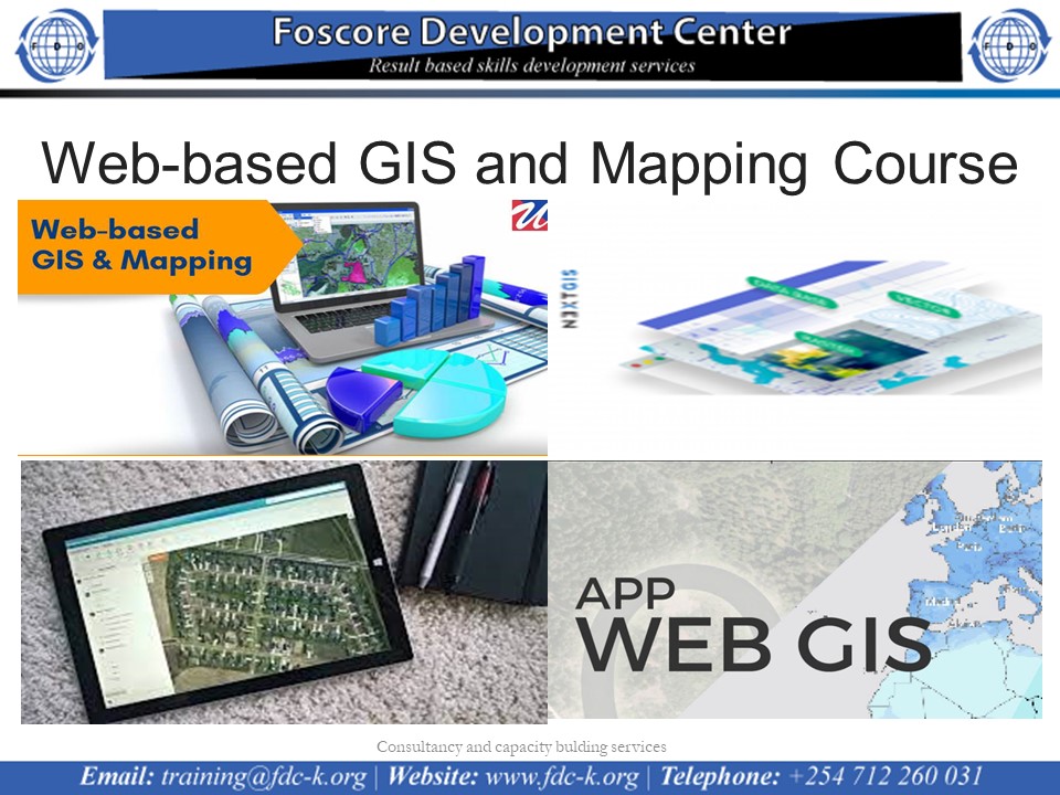
Web-based GIS and Mapping Course ON 17th to 21st OCtober 2022
Introduction
This course teaches you how to build GIS web portal using open source GIS end to end solutions. Includes open source GIS software including QGIS, PostGIS, GeoServer, and OpenLayers which all together can deliver the complete GIS solution. OpenLayers makes it easy to put a dynamic map in any web page. It can display map tiles and markers loaded from any source. OpenLayers has been developed to further the use of geographic information of all kinds. Attendees will learn how to create browser-based map applications and display data from a variety of sources. Basic JavaScript syntax will be covered. In GeoServer attendees will learn how to load, publish, and share geospatial data with GeoServer. Discussion will include navigating the GeoServer user interface, OGC web services, styling data with SLD, and tile caching with GeoWebCache. In PostGIS, attendees will learn about and create spatial databases, load data from a variety of sources into a spatial database, and perform queries against the data. Basic SQL syntax will be covered.
Who Should Attend
GIS users and experts, Geographers, IT experts, web developers, cartographers, Geoscientists, surveyors, planners, software engineers, database administrators, system administrators and M & E experts.
Duration
5 days
Course Objectives
• Introduction to HTML, JavaScript,CSS
• install Geoserver,
• Load GIS data into Geoserver
• Serve vector, raster, and attribute data on the Internet with Geoserver
• Serve data stored in Postgres and PostGIS on the Internet
• Create a client based browser application using OpenLayers 5.0
• Create an application that allows client and server interaction with GIS data.