Organization Name / Organize By
Data-Afrique Consultants
Presented By
Duncan Kariuki
Organizing/Related Departments
Data-Afrique Consultants
Organization Type
Organization
Training or Development ClassCategory
Both (Technical & Non Technical)
Training or Development ClassLevel
All (State/Province/Region, National & International)
Related Industries
Education/Teaching/Training/Development
Research/Science
OTHERS
Location
Dubai, United Arab Emirates
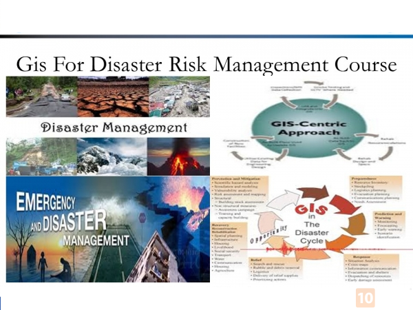
TRAINING COURSE ON GIS FOR DISASTER RISK MANAGEMENT
Start Date: 21/03/2022 End Date: 25/03/2022 for 5 days
Register online: https://bit.ly/2Zw3ux1
Organizer: DATA-AFRIQUE CONSULTANCY (www.data-afriqueconsultancy.org
Course fee: USD 2990
INTRODUCTION
The information revolving around disaster risk is spatial. GIS is crucial in the assessment and management of disaster risk. Therefore, it is important to create awareness among professionals handling disaster risks on to the usage of GIS.
COURSE OBJECTIVES
By the end of this course the participants will be able to:
- Understand the terminologies and meanings in relation to geospatial information technology
- Describing the pros and cons of applying geospatial information to reduce risk during disasters
- Application of GIS software (ESRI ArcGIS) to generate geographical information
- Identify, search, access, collect, and assess geospatial information with respect to reducing disaster risks
- Create maps via the use of GIS software
- Implement GIS in assessment of disaster risk and planning of reduction of disaster risk
DURATION
5 Days
WHO SHOULD ATTEND
This course targets individual in the Agricultural Extension sector (policy makers, senor officials and officers) collaborating with local communities, in finance corporations, governments, Public Health Officers, non-governmental organizations, and research companies supporting agricultural activities and developmental projects.
COURSE OUTLINE
Introduction to GIS for Disaster Risk Management
- Disaster management terminologies
- Remote sensing and GIS
- Spatial data/information
Post-Disaster Impact and Damage Analysis
- Disaster recovery and relief using satellite imagery
- Preliminary damage assessment and impact analysis
- Development of damage assessment
Pre-Disaster Risk Assessment
- Assessment of risk
- Risk elements and vulnerability assessment
- Types of risk assessment; cost-benefit analysis and risk evaluation
Risk Information for Risk Reduction Planning
- Risk evaluation
- Risk information
- Spatial planning and risk information
GENERAL NOTES
- This course is delivered by our seasoned trainers who have vast experience as expert professionals in the respective fields of practice. The course is taught through a mix of practical activities, theory, group works and case studies.
- Training manuals and additional reference materials are provided to the participants.
- Upon successful completion of this course, participants will be issued with a certificate.
- We can also do this as tailor-made course to meet organization-wide needs. Contact us to find out more: [email protected]
- The training will be conducted at DATA-AFRIQUE TRAINING CENTRE, NAIROBI KENYA.
- The training fee covers tuition fees, training materials, lunch and training venue. Accommodation and airport transfer are arranged for our participants upon request.
- Payment should be sent to our bank account before start of training and proof of payment sent to: [email protected]
Registration Fees
Available
Registration Fees Details
USD 2990
Registration Ways
Email
Phone
Website
Other