Organization Name / Organize By
Foscore Development Center
Organizing/Related Departments
Training department
Organization Type
Education Institution
Training or Development ClassCategory
Both (Technical & Non Technical)
Training or Development ClassLevel
All (State/Province/Region, National & International)
Related Industries
Education/Teaching/Training/Development
Information Technology
Location
Nairobi, Nairobi County,Nairobi,Kenya
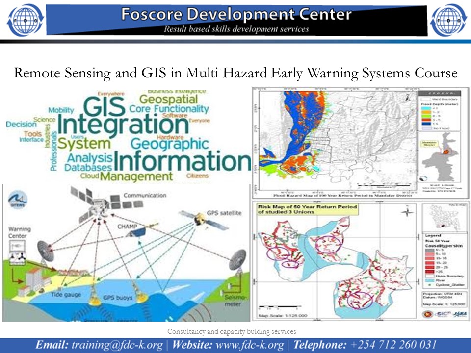
Remote Sensing and GIS in Multi Hazard Early Warning Systems Course on 12th to 16th NOvember 2022
course calendar
Introduction
Develop the capacity of professionals to design, manage, evaluate and undertake improvements in people-centered early warning systems for hydro-meteorological & geological hazards and extreme events associated with climate change and variability. It builds upon experience in building capacities on use of GIS, Remote Sensing and space based technologies in disaster risk management for disaster management institutions, disaster management practitioners and communities. It aims to institutionalize weather and climate information applications for disaster mitigation.
No of Days
5 days
Course Objectives
- Effectively integrate scientific and technical inputs into early warning dissemination and communication system
- Apply emerging generation climate prediction technologies for anticipating and managing disaster risks associated with climate change & variability
- Develop strategies to institutionalize early warning systems into the process cycle of disaster risk management and development planning, emergency response, and preparedness activities
- Develop risk communication & communication technologies
- Interpret scientific information products into user friendly formats and prepare & communicate tailor made early warning information products
- Design and implement community based early warning systems that are people centered
- Evaluate and introduce public education and training program for the community based early warning systems
- Undertake risk assessment and design of multi-hazard early warning systems for disaster risk reduction
- Apply GIS and Remote Sensing for designing implementations of large scale early warning systems and Participatory GIS skills for community Early Warning Systems
- Apply Mobile Data Gathering technologies for rapid assessment and surveys
Registration Fees
Available
Registration Fees Details
USD 1000
Registration Ways
Website
Address/Venue
Foscore Development Center
Transnational Plaza, Mama Ngina Street 5th Floor, Nairobi Kenya