Organization Name / Organize By
Foscore Development Center
Organizing/Related Departments
Training department
Organization Type
Education Institution
Training or Development ClassCategory
Both (Technical & Non Technical)
Training or Development ClassLevel
All (State/Province/Region, National & International)
Related Industries
Education/Teaching/Training/Development
Information Technology
Location
Nairobi, Nairobi County,Nairobi,Kenya
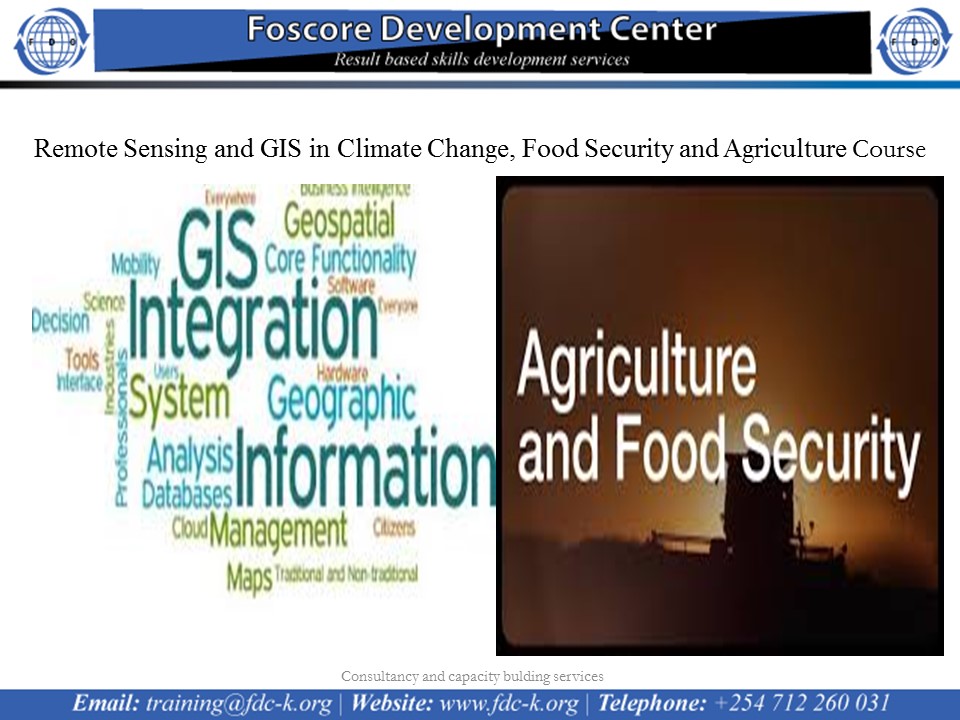
Remote Sensing and GIS in Climate Change, Food Security and Agriculture Course on 3rd to 14th October 2022
Course calendar
Introduction
The main objective of the course is to enhance the capabilities of technical staff involved in Food Security Analysis, climate analysis and agriculture by providing them with an understanding on the use of spatial and Earth Observation (EO) information as a tool to integrate knowledge about climate change, agriculture, and food security in a meaningful and innovative way.
No of Days
10 Days
Objectives
- Understand the basic concepts of GIS and Remote Sensing
- Apply GIS and RS for designing implementations of large scale early warning systems
- Use participatory GIS (PGIS) tools during assessments at community level
- Apply remote sensing data and image processing techniques to monitor select CCAFS indicators
- Use mobile phones to gather data during field assessments/surveys
- Design and implement their own GIS projects that integrate remote sensing data and GPS-based field information
- Assess spatial data availability and understand the importance of spatial data infrastructure (SDI), for data sharing by organizations involved in CCAFS
- Understand concepts and main frameworks in Food Security Analysis
- Understand concepts and main frameworks in Climate Change Analysis
- Understand concepts and main frameworks in Agriculture
- Understand the relationship between climate change, agriculture and food security
- Apply GIS and Remote Sensing as Decision support tool for Climate Change, Agriculture and Food Security (CCAFS).
- Use GIS information in planning FS interventions through spatial multi-criteria analysis
Registration Fees
Available
Registration Fees Details
USD 2000
Registration Ways
Website
Address/Venue
Foscore Development Center
Transnational Plaza, Mama Ngina St, Nairobi