
- TypeTraining or Development Class

- Location Abuja, Nigeria,Abuja (FCT),Nigeria

- Date 11-07-2022 - 15-07-2022
Education/Teaching/Training/Development
Research/Science
Business Development
Social Sciences
Administration/Management
Information Technology
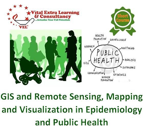
Course Title: Mapping and Visualization in Epidemiology and Public Health using GIS and Remote Sensing Technologies
Duration: 5 Days
Location: Vital Extra Learning Center
Cost: USD 750
Course Description
Health is a very sensitive sector in any economy. Most country's economic development is anchored in the health sector. Due to the sector continued complexity and multi-faceted nature that warrant huge work in research, monitoring, and evaluation, well-chosen and implementable monitoring and evaluation tools and techniques are inevitable. Such skills are useful in ensuring that health sector projects and programs are implemented as designed and planned. Geographical Information Systems have become an essential tool for planning, resource management, and decision making. The ability of GIS to store, retrieve, analyze models and map spatial data has enhanced its application. Geographic information systems are used in the health sector. This course aims at equipping the learners with the knowledge to use GIS tools to visualize indicators in health, explore spatial data, and analyze maps to communicate information and make decisions.
Learning outcomes
By the end of this course the participants will be able to:
• Use GIS as a monitoring tool for projects and programs activities in the health sector.
• Familiarize with spatial data availability
• Appreciate the role of spatial data infrastructure (SDI) in the health sector
• Use participatory GIS (PGIS) at the community level
• Conduct public health-related data modeling using GIS
• Collect data using Mobile data gathering tools
• Integrate GIS within new and existing activities in health.
Who should enroll?
The course is useful for professionals who use spatial data as part of their work and who need to make decisions from such data. Such professionals include public health M & E practitioners, health programs managers, and students among others.
Send an email to [email protected] to request a course training agenda
Why train with us
Vital Extra Learning guarantees our clients:
• State-of-the-art facilities and training infrastructure
• Extended tradition of hand-holding during post engagement
• Service delivery through highly seasoned industry experts.
• Value for money