
- TypeTraining or Development Class

- Location Westlands, Nairobi, Kenya

- Date 29-01-2018 - 02-02-2018
Education/Teaching/Training/Development
Agriculture/Agribusiness
Fresher/Trainee/Professionals
OTHERS
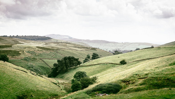
Event: GIS and Remote Sensing in Land Cover, Land Change Analysis Course
Venue: Indepth Research Training Centre, Nairobi, Kenya.
Event Date: 29th January 2018 – 02nd February 2018
NITA CERTIFIED
INTRODUCTION
Land use and land cover change have become a central component in current strategies for managing natural resources and monitoring environmental changes. The advancement in the concept of vegetation mapping has greatly increased research on land use land cover change thus providing an accurate evaluation of the spread and health of the world’s forest, grassland, and agricultural resources have become an important priority. Viewing the Earth from space is now crucial to the understanding of the influence of man’s activities on his natural resource base over time. In situations of rapid and often unrecorded land use change, observations of the earth from space provide objective information of human utilization of the landscape. Over the past years, data from Earth-sensing satellites has become vital in mapping the Earth’s features and infrastructures, managing natural resources and studying environmental change.
Participants will, therefore, acquire hands-on skills in the use of Geographic Information System (GIS) and Remote Sensing as a tool to capture, store, analyze, manage, and visualize land cover/use change and analysis.
WHO SHOULD APPLY?
Government workers in land departments, Students, agriculturist, urban and rural planners, environmentalist, professionals working in forest department, professionals working in disaster risk management and humanitarian, M&E expert, Data analyst engineers, Public health practitioners, epidemiologists, exposure scientists, quantitative health geographers, risk assessors, teachers among others.
DURATION
5 days
REQUIREMENTS
No prior knowledge of GIS is required. Participants will be working on their own laptop with Quantum GIS (QGIS)
LEARNING OBJECTIVES
TOPICS TO BE COVERED
The training workshop will discuss the application of GIS and Remote Sensing under the following themes:
How to participate
View related courses
The most popular courses
For further inquiries, please contact us on Tel: +254 715 077 817, +254 (020) 211 3814, +254 731240802, +254 735331020.
Email [email protected]
ACCOMMODATION
Accommodation is arranged upon request. For reservations contact the Training Officer.
Email: [email protected]
Mob: +254 715 077 817 Tel: 020 211 3814
PAYMENT
Payment should be transferred to IRES account through bank on or before C.O.B. 22nd January 2018. Send proof of payment to [email protected]
TAILOR-MADE TRAINING This training can also be customized for your institution upon request to a minimum of 4 participants. You can have it delivered in our IRES Training Centre or at a convenient location.