
- TypeTraining or Development Class

- Location Mombasa city, Mombasa county,Mombasa,Kenya

- Date 12-12-2022 - 16-12-2022
Education/Teaching/Training/Development
Information Technology
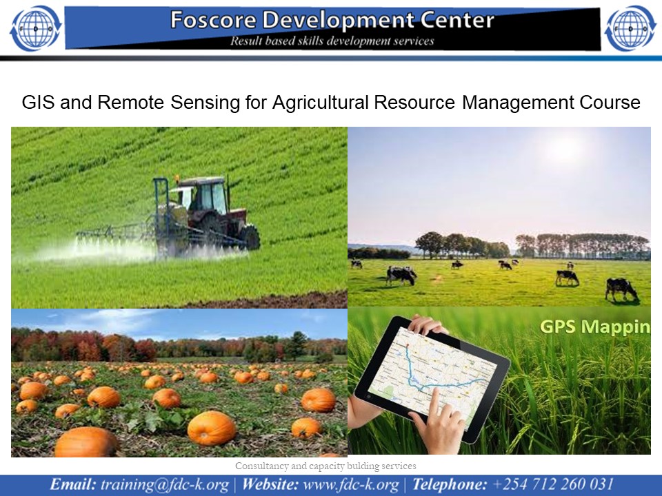
GIS and Remote Sensing for Agricultural Resource Management Course on 12th to 16th December 2022
Introduction
The efficiency and accuracy of data are improved when remote sensing data products and GIS are used. Spatial tools such as the Global Positioning System (GPS), Geographic Information Systems (GIS) and Remote Sensing (RS) for storing and analyzing spatial data can help us make better decisions in agriculture, land development, environmental protection and restoration. Specifically this decision making tools can be used in the context of agriculture in assessment of crop area extent, management of water resources, identification of pest attacks and diseases, yield assessment studies, land suitability assessment for agriculture disaster management and precision agriculture.
For optimum utilization of available agricultural land resources on a sustainable basis, timely and reliable information regarding their nature, extent and spatial distribution along with their potential and limitations is very important.
Participants will apply their new skills to one of several case studies in topics on agriculture, pest management, crop monitoring, water resource management and risk assessment among others. This course will offer a mixture of lectures, demonstrations and hands-on exercises using open source GIS and RS software.
Who should apply?
Agricultural experts, soil scientists, Animal Scientists, agronomist, entomologists, ranch managers, farm managers, environmentalist, farmers and students.
No of Days
5 days
Course objective