GIS Mapping, Visualization and Analysis using QGIS Course

2 years ago Posted By : User Ref No: WURUR113843 0
  • Image
  • TypeTraining or Development Class
  • Image
  • Location Nairobi, Nairobi County,Nairobi,Kenya
  • Price
  • Date 10-10-2022 - 14-10-2022
GIS Mapping, Visualization and Analysis using QGIS Course, Nairobi, Nairobi County,Nairobi,Kenya
Training or Development Class Title
GIS Mapping, Visualization and Analysis using QGIS Course
Event Type
Training or Development Class
Training or Development Class Date
10-10-2022 to 14-10-2022
Last Date for Applying
10-10-2022
Location
Nairobi, Nairobi County,Nairobi,Kenya
Organization Name / Organize By
Foscore Development Center
Organizing/Related Departments
Training department
Organization Type
Education Institution
Training or Development ClassCategory
Both (Technical & Non Technical)
Training or Development ClassLevel
All (State/Province/Region, National & International)
Related Industries

Education/Teaching/Training/Development

Information Technology

Location
Nairobi, Nairobi County,Nairobi,Kenya

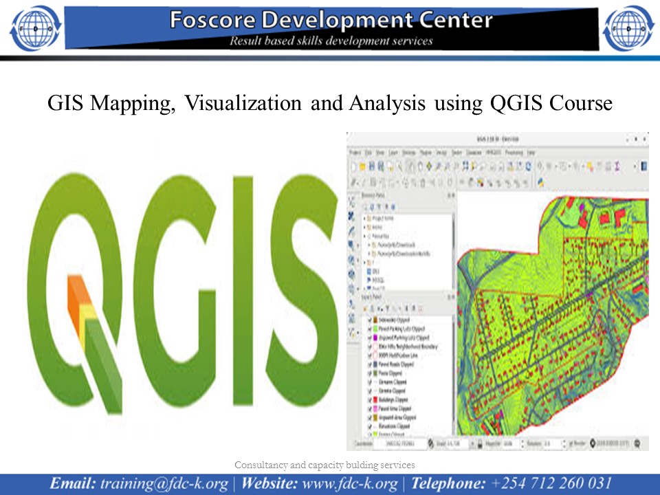
GIS Mapping, Visualization and Analysis using QGIS Course on 10th to 14th October 2022

course calendar


Introduction

It’s a known fact that information is processed from facts and figures; we also agree that if data is not well managed it can be overwhelming. Giving a spatial dimension to data and performing spatial analysis in a GIS environment speeds interpretation visualization which eventually speeds up implementation of programs.

Integrating GIS and Remote Sensing as a decision making tool has seen many organizations gain competitive advantage and remain relevant globally. To make timely decisions requires not only innovative ways to access accurate and real time information, but also tools to help present the information in ways that are useful.

Everything that happens in this world has a spatial dimension and this has made GIS applicable across all fields e.g. in agriculture, business, forestry, crime, mining, health, transport and communications, utility management, climate change, planning etc. A geographic information system (GIS) will allow you to bring all types of data inform of layers, overlay them to perform analysis and eventually publish a map from that.

This main objective of this course is to help our client understand how well they can apply GIS and Remote Sensing in their day to day activities of their organization. The course will be hands-on exercises in Quantum GIS (QGIS).


No of Days

10 Days
 

Course Objectives

  • Develop and implement a GIS project
  • Master the principles and concepts of GIS and RS 
  • Acquire, manipulate, save the data sources in a GIS
  • Understand how GIS database works and how to update
  • Lear how to edit data in GIS
  • Learn map design ,symbolization and   publishing
  • Mastering the output and dissemination of results of a GIS project.
  • Present the software and data sources available on the current GIS market
  • Learn digital image processing techniques
  • Become familiar with specific functionality to the GIS: "Spatial Analysis"
  • Discover and use the internet for publishing maps


Registration Fees
Available
Registration Fees Details
USD 1000
Registration Ways
Website
Address/Venue
Foscore Development Center  Transnational Plaza, Mama Ngina St, Nairobi 
Contact
   +254712260031