
- TypeTraining or Development Class

- Location Nairobi, Kenya

- Date 01-05-2023 - 05-05-2023
Education/Teaching/Training/Development
Business Development
Administration/Management
Introduction
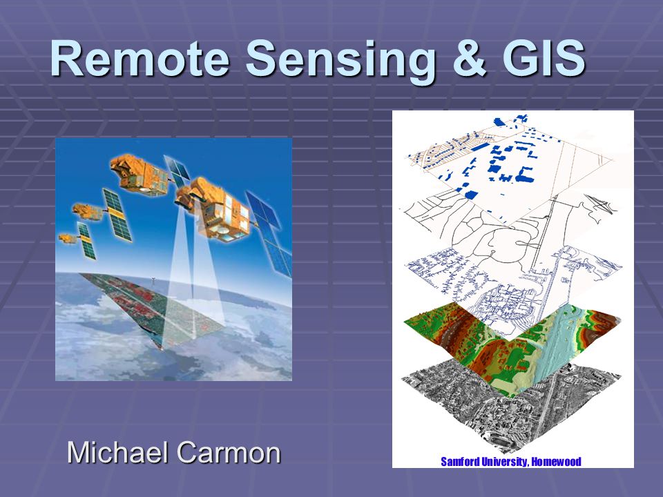
Geographic information systems are used in infrastructure management, project beneficiary mapping, service facilities mapping, land use planning, market analysis, impact analysis and utilities management.
Geographical information Systems have become an essential tool for planning, resource management and decision making. The ability of GIS to store, retrieve, analyze model and map spatial data has enhanced its application.
This course aims at equipping the learners with knowledge to use GIS tools to visualize real world features, explore spatial data and analyze maps to communicate information and make decisions.
Who Should Attend?
This training is designed for participants who want to apply GIS in the work to share information and make decisions.
No of Days
5 Days
Course Objectives
o Perform spatial analysis to better understand your data
o Create and share online maps using web GIS platforms
o Acquire, clean, and map GIS data
o Geocode addresses to longitude and latitude coordinates
o Work with attributes and shapefiles in map making
o Work with both vector and raster data
o Complete an entire GIS project on acquiring, processing, analyzing, and visualizing GIS data.
o Perform joins, clipping, normalization, and many more core GIS operations
o Work with vector and raster data
Course Content
Introduction to GIS concepts
o Principles of GIS and Remote Sensing
o Components of GIS Systems
o GIS Capabilities and Functions
o Spatial Data Infrastructure
Introduction to GIS data
o Vector geometries
o Vector information
o Raster basics
o Data attribute table
o Metadata
Spatial Reference Systems
o Map projections
o Coordinate system
o GPS system
ODK and GIS
o Introduction to Mobile Data Collection using ODK
o GIS Mapping ODK collected data
GIS data acquisition
o Extracting data from Satellite images
o Remote sensing data
o Extracting data from online GIS data sources
o Obtaining Data from topographic sheets
o Downloading Data from open street maps
Map making using QGIS software
o Map Components
o Working with shapefiles and attribute data in QGIS
Loading GIS Data into QGIS
o Vector and raster data layer
o Working with attributes
o Importing spreed sheets or CSVs
o Adding a base map
o Geocoding addresses
Key Options of Geospatial Data Representations
o Data and layout view
o Layer order and transparency
o Symbology and label
o Annotations
Styling geographical features
o Basic vector styling
o Basic raster styling
o Raster mosaicing and clipping
Producing final map
Spatial Analysis | Point pattern analysis
o Heatmap in QGIS
o Graduated point map
o Density maps
o Offset point location
Buffer analysis | Join analysis
o Spatial join
o Table join
o Spatial query
Point in polygon analysis
Web Mapping
o Architecture of web mapping
o Web mapping with Google fusion tables
Training Approach
This course will be delivered by our skilled trainers who have vast knowledge and experience as expert professionals in the fields. The course is taught in English and through a mix of theory, practical activities, group discussion and case studies. Course manuals and additional training materials will be provided to the participants upon completion of the training.
Tailor-Made Course
This course can also be tailor-made to meet organization requirement. For further inquiries, please contact us on: Email: [email protected] Tel: +254 721 331 808
Training Venue
The training will be held at our Upskill Training Centre. We also offer training for a group at requested location all over the world. The course fee covers the course tuition, training materials, two break refreshments, and buffet lunch.
Visa application, travel expenses, airport transfers, dinners, accommodation, insurance, and other personal expenses are catered by the participant
Certification
Participants will be issued with Upskill certificate upon completion of this course.