
- TypeTraining or Development Class

- Location Nairobi, Nairobi County,Nairobi,Kenya

- Date 26-09-2022 - 30-09-2022
Education/Teaching/Training/Development
Information Technology
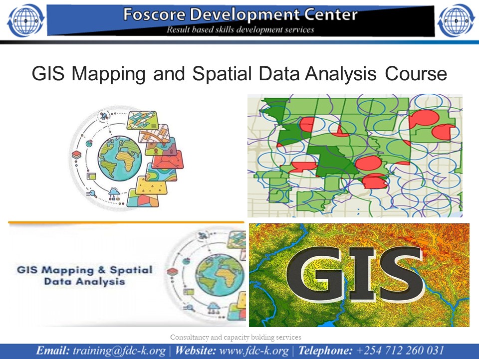
GIS Mapping and Spatial Data Analysis Course on 26th to 30th September 2022
Introduction
Geographic information systems are used in infrastructure management, project beneficiary mapping, service facilities mapping, land use planning, market analysis, impact analysis and utilities management.
Geographical information Systems have become an essential tool for planning, resource management and decision making. The ability of GIS to store, retrieve, analyze model and map spatial data has enhanced its application.
This course aims at equipping the learners with knowledge to use GIS tools to visualize real world features, explore spatial data and analyze maps to communicate information and make decisions.
Who Should Attend?
This training is designed for participants who want to apply GIS in the work to share information and make decisions.
No of Days
5 Days
Course Objectives
· Perform spatial analysis to better understand your data
· Create and share online maps using web GIS platforms
· Acquire, clean, and map GIS data
· Geocode addresses to longitude and latitude coordinates
· Work with attributes and shapefiles in map making
· Work with both vector and raster data
· Complete an entire GIS project on acquiring, processing, analyzing, and visualizing GIS data.
· Perform joins, clipping, normalization, and many more core GIS operations
· Work with vector and raster data
Course Content
Introduction to GIS concepts
· Principles of GIS and Remote Sensing
· Components of GIS Systems
· GIS Capabilities and Functions
· Spatial Data Infrastructure
Introduction to GIS data
· Vector geometries
· Vector information
· Raster basics
· Data attribute table
· Metadata
Spatial Reference Systems
· Map projections
· Coordinate system
· GPS system
ODK and GIS
· Introduction to Mobile Data Collection using ODK
· GIS Mapping ODK collected data
GIS data acquisition
· Extracting data from Satellite images
· Remote sensing data
· Extracting data from online GIS data sources
· Obtaining Data from topographic sheets
· Downloading Data from open street maps
Map making using QGIS software
· Map Components
· Working with shapefiles and attribute data in QGIS
Loading GIS Data into QGIS
· Vector and raster data layer
· Working with attributes
· Importing spreed sheets or CSVs
· Adding a base map
· Geocoding addresses
Key Options of Geospatial Data Representations
· Data and layout view
· Layer order and transparency
· Symbology and label
· Annotations
Styling geographical features
· Basic vector styling
· Basic raster styling
· Raster mosaicing and clipping
Producing final map
Spatial Analysis | Point pattern analysis
· Heatmap in QGIS
· Graduated point map
· Density maps
· Offset point location
Buffer analysis | Join analysis
· Spatial join
· Table join
· Spatial query
Point in polygon analysis
Web Mapping
· Architecture of web mapping
· Web mapping with Google fusion tables