
- TypeTraining or Development Class

- Location Nairobi, Nairobi County,Nairobi,Kenya

- Date 05-09-2022 - 09-09-2022
Education/Teaching/Training/Development
Information Technology
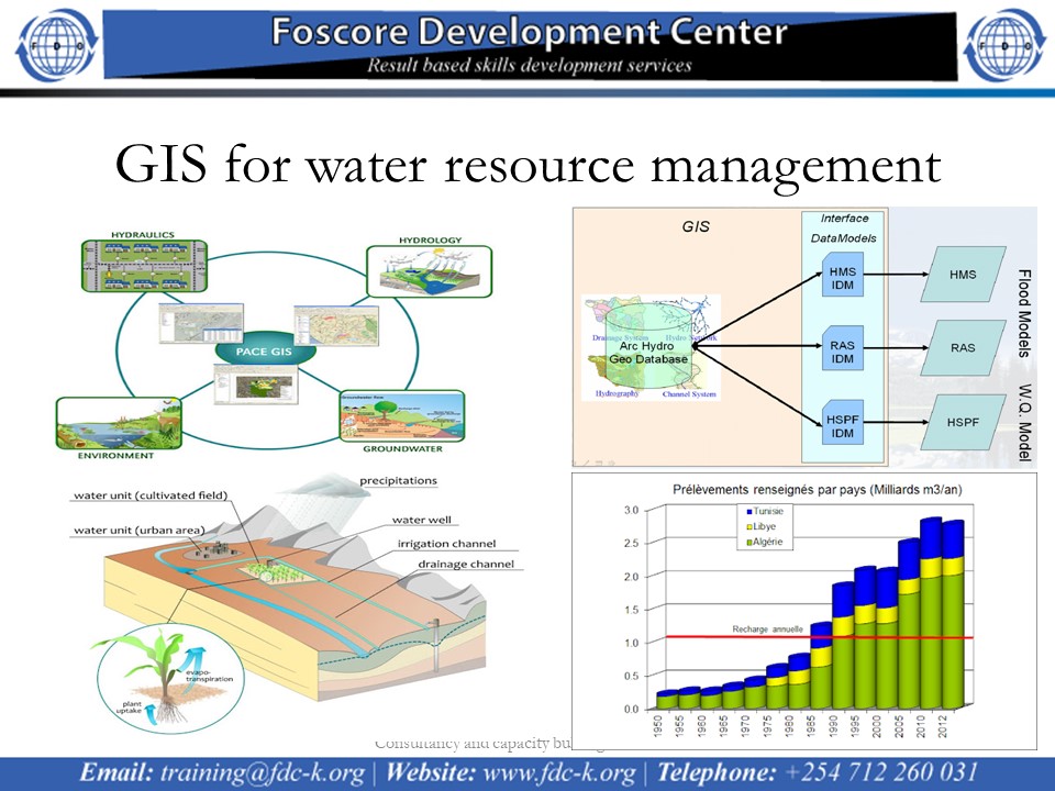
GIS for Water Resource Management Course on 5th to 9th September 2022
Introduction
The aim of this course is to provide both a solid theoretical understanding and a comprehensive practical introduction to the use of geographic information systems and remote sensing technologies for the analysis and solution of different water and environmental problems.
Target Group
The course is designed for professionals (engineers and scientists) active in the water/environmental sector, especially those involved in planning and management of water systems as well as numerical modeling. Prerequisites are a basic knowledge of computing and water related topics.
Duration
5 days
Course Objectives
Course Content
The course focuses on the analysis of digital spatial data, preparation for numerical modeling, presentation of modeling results and support to the decision making process. Some of the topics covered in the course include the following:
Section 1
· Introduction to geographic information systems and remote sensing technologies,
· Active and passive remote sensing,
· Data structures,
Section 2
· Map projections and coordinate systems,
· Processing of digital geographic information,
· Creation of digital elevation models,
· Visualisation,
Section 3
· Mapping of water and environmental features,
· Watersheds, streams and aquifers delineation,
· Map Digitization,
· Soil and land use mapping,
Section 4
· Watershed Analysis
· Map algebra,
· Terrain analysis for hydrological and hydraulic modeling,
· Presentation of modeling results,
Section 5
· Analysis to generate new information and knowledge,
· Dissemination of new information and knowledge,
· GIS as a decision support tool.