
- TypeWorkshop

- Location Nairobi, Kenya

- Date 04-09-2023 - 08-09-2023
Education/Teaching/Training/Development
Social Sciences
Computer/Technology
Medical/Healthcare/Hospital
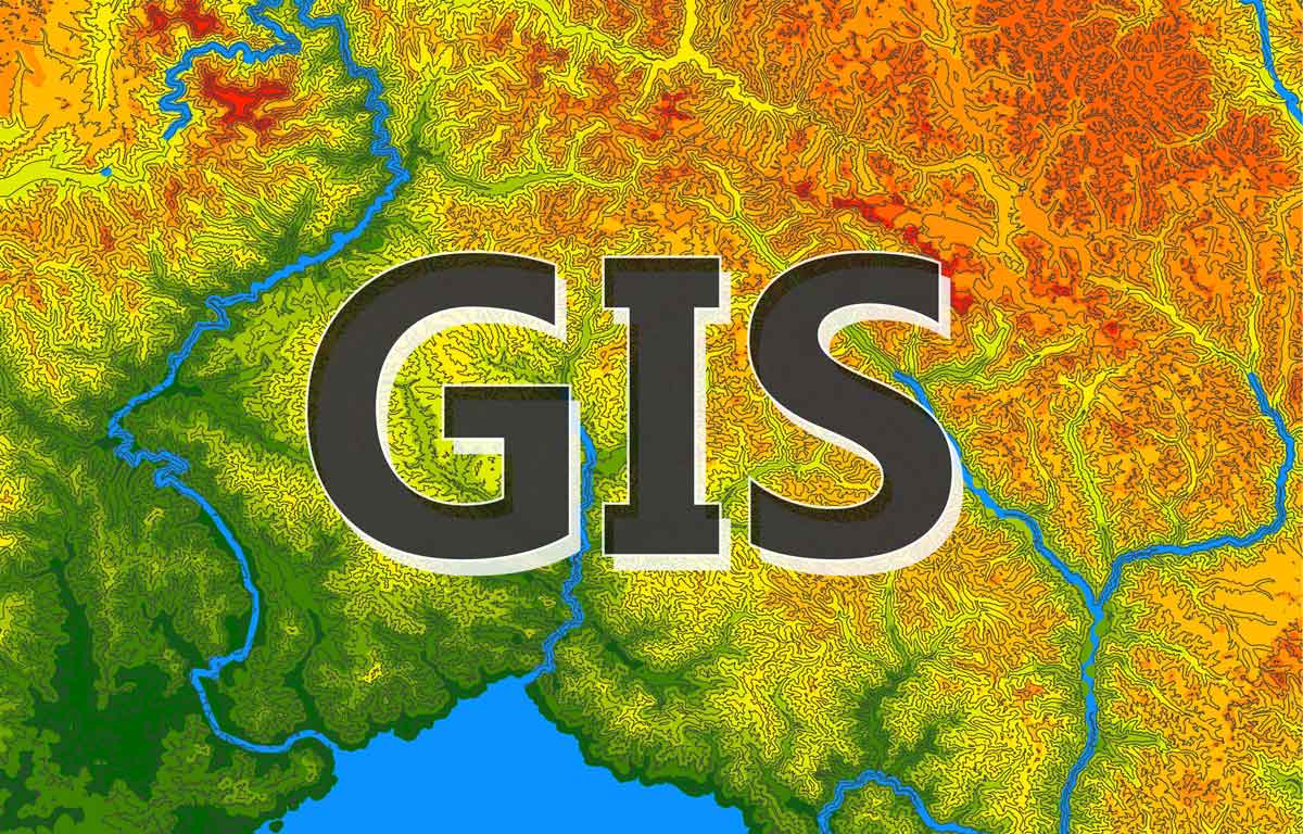
A lot of projects and programs have failed to have the impacts they were designed to have because they did not incorporate GIS in their project operations. A geographical information system (GIS) is a collection of hardware software, and procedures to collect, manage, retrieve, manipulate, analyze and display spatial data.
This training workshop will equip participants with the ability to perform multi criteria analysis of WASH, model wash projects, identify Most at Risk Populations, use GIS as a monitoring tool for WASH activities in line with SPHERE minimum standards.
Course Objectives
By the end of this course the participants will be able to:
Course Outline
1. Introduction and definition of concepts
2. Introduction to GIS Software (QGIS)
3. Mobile based data collection in WASH
4. Case studies and demonstration on various GIS based on project’s data
5. Case study: GIS and Remote Sensing as a tool in monitoring WASH projects
6. Development and presentation of maps
7. Facilitated practical exercises in map making and presentation using project data
Methodology
The instructor led trainings are delivered using a blended learning approach and comprises of presentations, guided sessions of practical exercise, web based tutorials and group work. Our facilitators are seasoned industry experts with years of experience, working as professional and trainers in these fields.
All facilitation and course materials will be offered in English. The participants should be reasonably proficient in English.
Accreditation
Upon successful completion of this training, participants will be issued with an Indepth Research Institute (IRES) certificate certified by the National Industrial Training Authority (NITA).
Training Venue
The training will be held at IRES Training Centre. The course fee covers the course tuition, training materials, two break refreshments and lunch.
All participants will additionally cater for their, travel expenses, visa application, insurance, and other personal expenses.
Accomodation and Airport Pickup
Accommodation and airport pickup are arranged upon request. For reservations contact the Training Officer.
Email:[email protected] or [email protected]
Mob: +254 715 077 817 or +250 789 621 067
Tailor- made Workshop
This training can also be customized to suit the needs of your institution upon request. You can have it delivered in our IRES Training Centre or at a convenient location.
For further inquiries, please contact us on Tel: +254 715 077 817 or +250 789 621 067
Mob:+254792516000,+254792516010,+25078962167,or mail [email protected] or [email protected]
Tala Road, Off Kiambu Road Runda-Nairobi
+254715077817