
- TypeTraining or Development Class

- Location Nairobi, Kenya

- Date 06-09-2021 - 10-09-2021
Education/Teaching/Training/Development
Research/Science
Agriculture/Agribusiness
Click on this link to view course details and register to attend
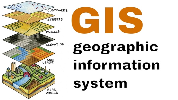
Introduction
This course comprises 10 modules, each with their own learning objectives and target deliverable. This training introduces students to both the social and technical aspects of digital mapping. Students will learn fundamental concepts and techniques in cartography and GIS, including file types, data classification, projections and coordinate systems and elementary analytical techniques in a range of desktop and web-based mapping platforms.
In addition to providing the fundamental technical competencies necessary to create maps, students will develop the critical awareness required to effectively communicate complex social processes through maps. Modules consist of an applied “hands-on” lesson.
No of Days
10 Days
Course Objectives
Course Outline
Module 1: Introduction to new maps plus, cartography and GIS, and creating maps in QGIS
Module 2: Thematic data mapping with table joins
Module 03: Geocoding and point in polygon analysis
Module 04: Hexbin and heat mapping
Module 05: Creating and editing vector Geometries
Module 06: Openstreetmap data and Introduction to Geoprocessing tools
Module 07: Geoprocessing in QGIS and automating workflows
Module 08: Integrating QGIS with cartodb
Module 09: Advanced mapping techniques with QGIS and cartodb
Module 10: Bringing it all together (course project)
Training Approach
This course will be delivered by our skilled trainers who have vast knowledge and experience as expert professionals in the fields. The course is taught in English and through a mix of theory, practical activities, group discussion and case studies. Course manuals and additional training materials will be provided to the participants upon completion of the training.
Tailor-Made Course
This course can also be tailor-made to meet organization requirement. For further inquiries, please contact us on: Email: [email protected] Tel: +254 721 331 808
Training Venue
The training will be held at our Upskill Training Centre. We also offer training for a group (at a discount of 10% to 50%) at requested location all over the world. The course fee covers the course tuition, training materials, two break refreshments, and buffet lunch.
Visa application, travel expenses, airport transfers, dinners, accommodation, insurance, and other personal expenses are catered by the participant
Certification
Participants will be issued with Upskill certificate upon completion of this course.
Click on this link to view course details and register to attend