Organization Name / Organize By
Upskill Development Institute
Organizing/Related Departments
Upskill Training Team
Organization Type
Education Institution
WorkshopCategory
Both (Technical & Non Technical)
WorkshopLevel
International
Related Industries
Education/Teaching/Training/Development
Location
Nairobi Kenya, Nairobi, Kenya
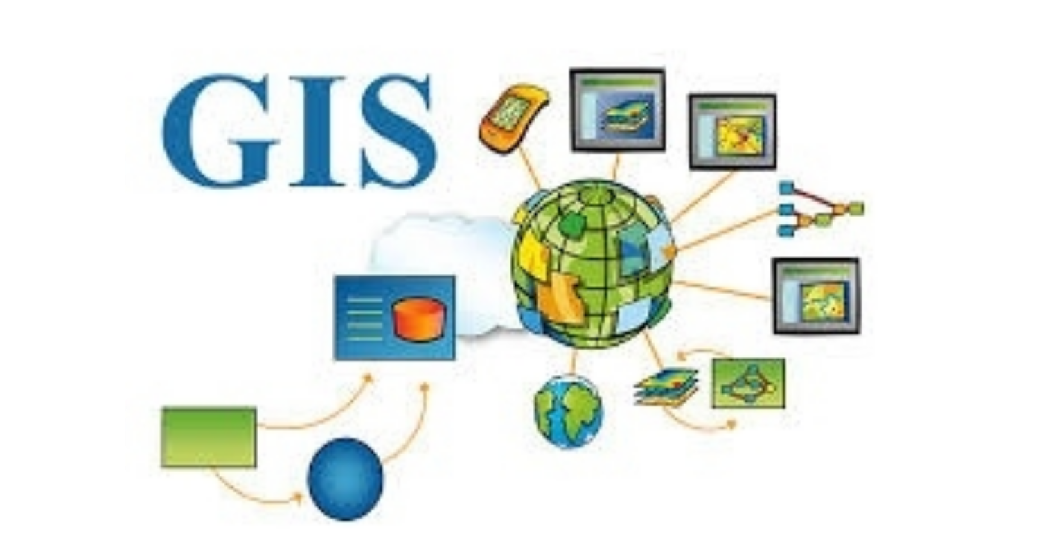
Introduction
This course comprises 10 modules, each with their own learning objectives and target deliverable. This training introduces students to both the social and technical aspects of digital mapping. Students will learn fundamental concepts and techniques in cartography and GIS, including file types, data classification, projections and coordinate systems and elementary analytical techniques in a range of desktop and web-based mapping platforms.
In addition to providing the fundamental technical competencies necessary to create maps, students will develop the critical awareness required to effectively communicate complex social processes through maps. Modules consist of an applied “hands-on” lesson.
No of Days
10 Days
Course Objectives
- Integrate desktop GIS procedures with web-based mapping platforms
- Define and differentiate between variety of spatial data models and formats
- Manipulate geospatial datasets (e.g. cleaning, joining, querying, extracting)
- Apply appropriate thematic map symbology to represent geographic phenomena
- Explain and apply the basics of representation in GIS, including using vector and raster data formats, determining appropriate geographic coordinate system for a given spatial data file and applying the appropriate geographic projection to a map type and spatial scale
- Produce static map products that integrate multiple data types and analytical methods
- Obtain geospatial data from a variety of online sources and integrate into mapping processes
Course Outline
Click on the link to view course content and our training schedule
Registration Fees
Available
Registration Fees Details
Classroom Training Fee: USD 2000 and Online Training Fee: USD 1200
Registration Ways
Email
Phone
Website