Organization Name / Organize By
Foscore Development Center
Organizing/Related Departments
Training department
Organization Type
Education Institution
Training or Development ClassCategory
Both (Technical & Non Technical)
Training or Development ClassLevel
All (State/Province/Region, National & International)
Related Industries
Education/Teaching/Training/Development
Information Technology
Location
Nairobi, Nairobi County,Nairobi,Kenya
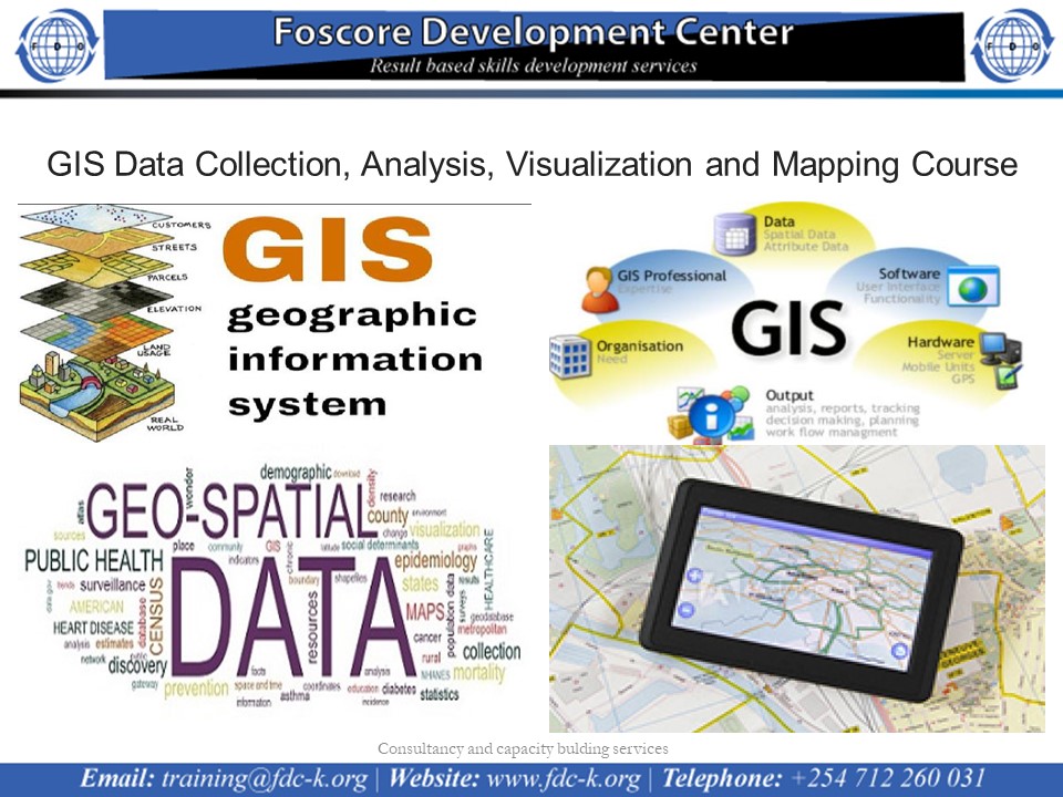
GIS Data Collection, Analysis, Visualization and Mapping Course on 19th to 30th September 2022
Course calendar
Introduction
This course comprises 10 modules, each with their own learning objectives and target deliverable. This training introduces students to both the social and technical aspects of digital mapping. Students will learn fundamental concepts and techniques in cartography and GIS, including file types, data classification, projections and coordinate systems and elementary analytical techniques in a range of desktop and web-based mapping platforms.
In addition to providing the fundamental technical competencies necessary to create maps, students will develop the critical awareness required to effectively communicate complex social processes through maps. Modules consist of an applied “hands-on” lesson.
No of Days
10 Days
Course Objectives
- Integrate desktop GIS procedures with web-based mapping platforms
- Define and differentiate between variety of spatial data models and formats
- Manipulate geospatial datasets (e.g. cleaning, joining, querying, extracting)
- Apply appropriate thematic map symbology to represent geographic phenomena
- Explain and apply the basics of representation in GIS, including using vector and raster data formats, determining appropriate geographic coordinate system for a given spatial data file and applying the appropriate geographic projection to a map type and spatial scale
- Produce static map products that integrate multiple data types and analytical methods
- Obtain geospatial data from a variety of online sources and integrate into mapping processes
Course Outline
Module 1: Introduction to new maps plus, cartography and GIS, and creating maps in QGIS
- Gain a basic conceptual understanding of cartography, GIS, and mapping
- Gain familiarity with geographic data and information, and how it’s encoded within computer files
- Download and install a free and open-source GIS application (QGIS)
- Gain a basic familiarity with the QGIS interface
- Gain awareness of spatial reference and projection issues
- Practice opening a variety of geographic data with QGIS and viewing their attributes within QGIS
- Perform basic map styling
- Create and export a basic map as a static image file
Module 2: Thematic data mapping with table joins
- Load shape files and CSV data into QGIS
- Reproject the map into an equal-area projection
- Create classed choropleth map
- Adjust the legend to help the map tell a more clear story
- Load tabular CSV data into QGIS and performing a tabular join
Module 03: Geocoding and point in polygon analysis
- Obtaining and working with US Census data
- Understand and perform geocoding of tabular data
- Learn about some of the geocoding tools available online
- Understand and perform a point in polygon analysis
Module 04: Hexbin and heat mapping
- Map point data
- Create new polygon shapefiles of hexagon shapes and raster heatmaps
- Determine the number of different good types within each polygon
- Play with various classification schemes for representing the data
- Create a ‘heat map’ representation of the data
Module 05: Creating and editing vector Geometries
- Georeferencing
- Using the GDAL Georeferencer
- Digitizing data
- Digitizing data with Open Street Map in QGIS
Module 06: Openstreetmap data and Introduction to Geoprocessing tools
- A deeper look at Open Street Map
- Importing OpenStreetMap data: QuickOSM
- Importing OpenStreetMap data: SpatialLite Database
- Data filtering and extraction
- Exporting layers to a local CRS
- Introduction to Geoprocessing
- Geoprocessing with a buffer analysis
Module 07: Geoprocessing in QGIS and automating workflows
- Extracting and preparing thematic OSM data
- Filtering OSM data to create desired features
- Managing CRSs in a Geoprocessing Workflow
- Extracting attribute types of interest
- Creating a buffer around a Polyline feature
- Clipping features within a buffer
- Geoprocessing functions
- Using the Graphical Processing Modeler to automate workflows
Module 08: Integrating QGIS with cartodb
- Creating a CartoDB account and exploring the documentation and interface
- Loading data into CartoDB
- Using the QGIS CartoDB plugin
- Pulling data down into QGIS for processing
- Pushing data backup to CartoDB
- Making a thematic map in CartoDB
Module 09: Advanced mapping techniques with QGIS and cartodb
- Using SQL in CartoDB
- Symbolizing point data and “Bubble Maps” in CartoDB
- Creating an unclassed proportional symbol map in CartoDB
- What is PostGIS?
- Using SQL and PostGIS to perform Geoprocessing tasks in the browser
Module 10: Bringing it all together (course project)
- Each student will select from suggested datasets to create a final course project
- Students can use CartoDB or Mapbox Studio
Registration Fees
Available
Registration Fees Details
USD 2000
Registration Ways
Website
Address/Venue
Foscore Development Center
Transnational Plaza, Mama Ngina Street 5th Floor, Nairobi Kenya