
- TypeTraining or Development Class

- Location Nairobi, Nairobi County,Nairobi,Kenya

- Date 21-11-2022 - 25-11-2022
Education/Teaching/Training/Development
Information Technology
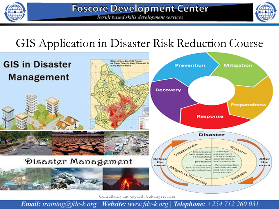
GIS Application in Disaster Risk Reduction Course on 21st to 25th November 2022
INTRODUCTION
Information and Communication Technologies (ICTs) have improved prospects for solving technical problems through the use of Geographical Information Systems (GIS) for hazard mapping and modeling, the use of web-based data sources to facilitate research on disaster management and the use of searchable databases for hazard information. Not all Caribbean countries, however, have been able to fully utilize these opportunities.
This course aims to impart practical skills on how to use GIS, to overcome the major challenges faced in all phases of disaster management.
WHO IS THIS TRAINING INTENDED FOR?
The training is intended for professionals working in development areas mostly in DRM related fields.
DURATION
5 Days
TRAINING OBJECTIVE
Upon completion of the training, the participants will be able to describe and utilize spatial data through manipulating it in the phases of pre disaster, during disaster and post disaster.