
- TypeTraining or Development Class

- Location Abuja, Nigeria,Abuja (FCT),Nigeria

- Date 07-03-2022 - 11-03-2022
Education/Teaching/Training/Development
Research/Science
Business Development
Social Sciences
Administration/Management
Agriculture/Agribusiness
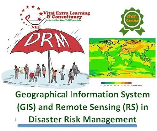
Course Title: Geographical Information System (GIS) and Remote Sensing (RS) Technologies for Disaster Risk Management
Duration: 5 Days
Location: Vital Extra Learning Center
Cost: USD 750
Course Description
Geographic Information Systems (GIS) play an important role in disaster risk management since disaster risk information is spatial in nature. Extreme climatic events are causing a rapid increase in the vulnerability of communities exposed to hazardous events. Natural disasters inflict severe damage on almost the entire spectrum of social and natural habitats, ranging from housing and shelter, water, food, health, sanitation, and waste management to information and communication networks, supply of power and energy, and transportation infrastructure. There is a great need to utilize disaster risk information in planning for effective coping mechanisms of disaster risk reduction. For this, there is a significant need to create awareness among disaster management professionals regarding the importance of GIS and Remote Sensing. This course aims at imparting practical skills on how to use GIS and RS, to overcome the major challenges faced in,pre-disasters during disaster and post-disaster management such as during early warning, hazard, vulnerability, and risk assessment, damage assessment, as well as in the design of risk reduction measures.
Learning outcomes
By the end of this course the participants will be able to:
• Describe and utilize spatial data, GIS, and remote sensing in disaster risk assessment and management
• Utilize existing sources of historical disaster information and elements at-risk data
• Apply GIS/remote sensing in hazard, vulnerability, and risk assessment
• Employ risk information in emergency preparedness planning
• Visualize hazard and risk information
• Apply GIS/remote sensing to post-disaster damage assessment
Who should enroll?
This course is ideal for professionals who require knowledge and skills on the use of GIS and RS in their organization in the field of disaster risk management.
Send an email to [email protected] to request a course training agenda
Why train with us
Vital Extra Learning guarantees our clients:
• State-of-the-art facilities and training infrastructure
• Extended tradition of hand-holding during post engagement
• Service delivery through highly seasoned industry experts.
• Value for money