
- TypeTraining or Development Class

- Location Nairobi, Kenya

- Date 12-06-2017 - 16-06-2017
Education/Teaching/Training/Development
INTRODUCTION
With information society, creation, distribution, integration and manipulation of information has become a significant economic, political, and cultural activity. It’s a known fact that information is processed from facts and figures; we also agree that if data is not well managed it can be overwhelming. Giving a spatial dimension to data and performing spatial analysis in a GIS environment speeds interpretation visualization which eventually speeds up implementation of programs.
To make timely decisions requires not only innovative ways to access accurate and real time information, but also tools to help present the information in ways that are useful .Integrating GIS and Remote Sensing as a decision making tool has seen many organizations gain competitive advantage and remain relevant globally.
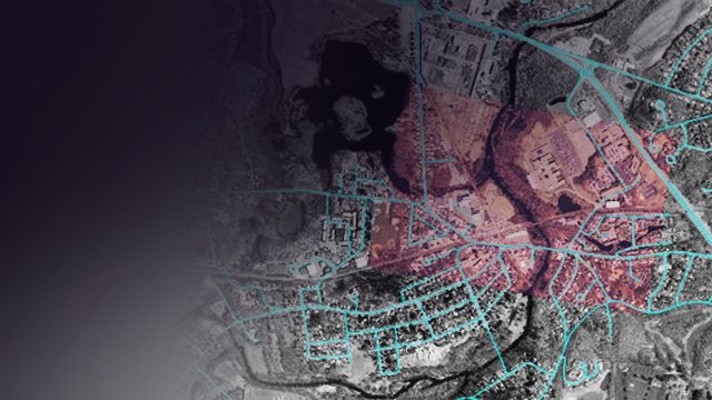
Everything that happens in this world has a spatial dimension and this has made GIS applicable across all fields e.g. in health, agriculture, forestry, mining, crime, business, transport and communications, utility management, climate change, planning etc. A geographic information system (GIS) will allow you to bring all types of data inform of layers, overlay them to perform analysis and eventually publish a map from that.
This training workshop is aimed at helping our client understand how well they can apply GIS and RS in their day to day running of their organization. The course will be offered in a mixture of lectures, demonstrations and hands-on exercises in Quantum GIS (QGIS).
WHO SHOULD APPLY?
Government, Environment, Data analysis, Retailing, Fleet management, Marketing,Property development, Emergency response ,Transport, Military defense,Healthcare,Oil and gas, Agriculture, mining, disaster risk management Forestry, M&E ,WASH, Engineers, TelecommunicationsUtilities, geographers, teachers, journalists, students e.t.c
REQUIREMENTS
No prior knowledge of GIS is required. Participants will be working on their own laptop with Quantum GIS (QGIS).
LEARNING OBJECTIVES
For more details and updates please visit website