Organization Name / Organize By
Versed Professional Services
Organizing/Related Departments
Training
Organization Type
Organization
WorkshopCategory
Both (Technical & Non Technical)
WorkshopLevel
All (State/Province/Region, National & International)
Related Industries
Education/Teaching/Training/Development
INTRODUCTION
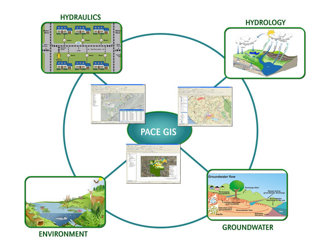
The aim of this course is to provide both a solid theoretical understanding and a comprehensive practical introduction to the use of geographic information systems and remote sensing technologies for the analysis and solution of different water and environmental problems.
WHO SHOULD ATTEND?
The course is designed for professionals (engineers and scientists) active in the water/environmental sector, especially those involved in planning and management of water systems as well as numerical modeling. Prerequisites are a basic knowledge of computing and water related topics.
DURATION
5 days
COURSE OBJECTIVES
Upon completion, the participant should be able to:
- Gain a sound fundamental understanding of the GIS and remote sensing technologies
- To understand the basic principles underlying the GIS/model-based management of water resources and environment
- To become familiar with the GIS-based analytical and problem-solving techniques for sustainable planning and management of water resources and environmental problems.
TOPICS TO BE COVERED
-
The course focuses on the analysis of digital spatial data, preparation for numerical modeling, presentation of modeling results and support to the decision making process. Some of the topics covered in the course include the following:
Module 1
- Introduction to geographic information systems and remote sensing technologies,
- Active and passive remote sensing,
- Data structures,
Module 2
- Map projections and coordinate systems,
- Processing of digital geographic information,
- Creation of digital elevation models,
- Visualisation,
Module 3
- Mapping of water and environmental features,
- Watersheds, streams and aquifers delineation,
- Map Digitization,
- Soil and land use mapping,
Module 4
- Watershed Analysis
- Map algebra,
- Terrain analysis for hydrological and hydraulic modeling,
- Presentation of modeling results,
Module 5
- Analysis to generate new information and knowledge,
- Dissemination of new information and knowledge,
- GIS as a decision support tool.
CUSTOMIZED TRAINING
This training can also be customized for your institution upon request. You can have it delivered your preferred location.
For further inquiries, please contact us on details below:
Tel: +254 (0) 739167709.
Email: training @versedpro.com
Registration Fees
Available
Registration Fees Details
The training fee is USD 1050 exclusive of 16% vat where applicable.
Registration Ways
Website