
- TypeWorkshop

- Location Nairobi, Kenya

- Date 10-07-2017 - 14-07-2017
Education/Teaching/Training/Development
Social Sciences
Information Technology
Computer/Technology
INTRODUCTION
This course is technically designed to suit professionals in the job market through imparting practical skills on how to use GIS to overcome the major challenges faced during phases of disease outbreak, surveillance and monitoring.
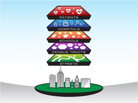
Participants will acquire hands-on skills in use of Geographic Information System (GIS) as a tool to capture, store, analyze, manage, and visualize disease cases data that is geographically linked.
WHO SHOULD ATTEND?
The course is targeted at professionals who require knowledge and skills on the use of GIS and RS in their organization in the field of risk management. Participants are welcome from a broad range of organizations including physical planning, institutions, professionals and private GIS and RS related firms.
DURATION
5 days
COURSE OBJECTIVES
Upon completion of the course, the participants will be able to develop a key understanding on the different components of a GIS and the role GIS plays in solving epidemiological and animal health related problems.
TOPICS TO BE COVERED
Module 1: Basic GIS concepts
Module 2: GIS data sources, data collection and integration techniques for Risk mapping
Module 3: Disease vulnerability and Risk assessment using GIS
Module 4: Application of Risk Information for Risk Reduction Planning
Spatial mapping and Visualization in disease surveillance
Module 5: GIS for monitoring in Epidemiology and public health
For more details and updates please visit website.