
- TypeTraining or Development Class

- Location Westland Nairobi Kenya, Nairobi, Kenya

- Date 22-02-2021 - 26-02-2021
Education/Teaching/Training/Development
Research/Science
Introduction
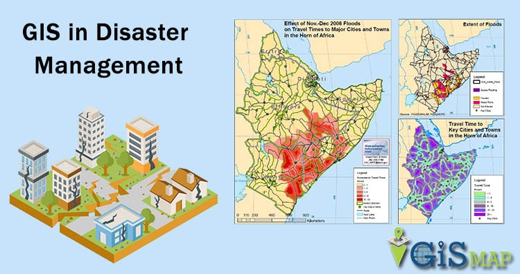
Rapid population growth and urbanization combined with extreme climatic events are causing a rapid increase in vulnerability of communities exposed to hazardous events. As a result, disasters are increasingly taking a heavy toll on life and property. Growth both in urban and non-urban areas calls for integration of adequate measures to reduce the impact of disasters. There is increased need for risk- informed decision making in planning for effective coping mechanisms for disaster risk reduction. This course will create significant awareness among the disaster management Professionals regarding the importance of GIS usage.
Course Objective:
Duration
5 Days
Who should attend?
The course is open to all participants who are working or will be working in the organizations where spatial information is used or considered to be used for the purpose of disaster risk management, disaster management, or disaster risk reduction. There is no prerequisite GIS knowledge for participant who is interested in this course.
Course content
Click on this link to view course outline and training schedule