Mobile Data Collection and GIS Mapping using ODK and QGIS Course

1 year ago Posted By : User Ref No: WURUR141421 0
  • Image
  • TypeTraining or Development Class
  • Image
  • Location Nairobi, Kenya
  • Price
  • Date 01-05-2023 - 12-05-2023
Mobile Data Collection and GIS Mapping using ODK and QGIS Course, Nairobi, Kenya
Training or Development Class Title
Mobile Data Collection and GIS Mapping using ODK and QGIS Course
Event Type
Training or Development Class
Training or Development Class Date
01-05-2023 to 12-05-2023
Last Date for Applying
30-04-2023
Location
Nairobi, Kenya
Organization Name / Organize By
Upskill Development Training Center
Organizing/Related Departments
Upskill Training Department
Organization Type
Organization
Training or Development ClassCategory
Non Technical
Training or Development ClassLevel
All (State/Province/Region, National & International)
Related Industries

Education/Teaching/Training/Development

Business Development

Administration/Management

Information Technology

Computer/Technology

Location
Nairobi, Kenya

Introduction

It’s a known fact that information is processed from facts and figures; we also agree that if data is not well managed it can be overwhelming. Giving a spatial dimension to data and performing spatial analysis in a GIS environment speeds interpretation visualization which eventually speeds up implementation of programs.

Integrating GIS and Remote Sensing as a decision making tool has seen many organizations gain competitive advantage and remain relevant globally. To make timely decisions requires not only innovative ways to access accurate and real time information, but also tools to help present the information in ways that are useful.

Everything that happens in this world has a spatial dimension and this has made GIS applicable across all fields e.g. in agriculture, business, forestry, crime, mining, health, transport and communications, utility management, climate change, planning etc. A geographic information system (GIS) will allow you to bring all types of data inform of layers, overlay them to perform analysis and eventually publish a map from that.

This main objective of this course is to help our client understand how well they can apply GIS and Remote Sensing in their day to day activities of their organization. The course will be hands-on exercises in Quantum GIS (QGIS).

Duration

10 Days

Course Objectives

  • Develop and implement a GIS project
  • Master the principles and concepts of GIS and RS
  • Acquire, manipulate, save the data sources in a GIS
  • Understand how GIS database works and how to update
  • Lear how to edit data in GIS
  • Learn map design ,symbolization and publishing
  • Mastering the output and dissemination of results of a GIS project.
  • Present the software and data sources available on the current GIS market
  • Learn digital image processing techniques
  • Become familiar with specific functionality to the GIS: "Spatial Analysis"
  • Discover and use the internet for publishing maps

Course Outline

Introduction to GPS, GIS and Remote Sensing Principles

  • Principles of GIS and Remote Sensing
  • Components of GIS Systems
  • GIS Capabilities and Functions
  • Spatial Data Infrastructure
  • Introduction to GPS and Global Navigation Satellite

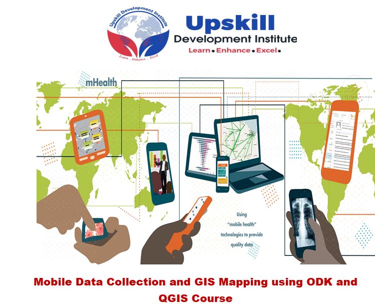
Data Acquisition: Using Mobile based GPS (ODK)

  • Principles and concepts of GPS
  • Introduction to Mobile Data gathering
  • Getting started
  • Survey Authoring
  • GIS Mapping ODK collected data
  • Online web mapping with Google maps
  • Exporting to GIS /RS environment for further analysis
  • Hosting the data online

Data Acquisition: Extraction of feature from other sources

  • Extracting data from Satellite images,
  • Extracting data from online GIS data sources
  • Importing data to GIS
  • Obtaining Data from topographic sheets
  • Downloading Data from open street maps

Database Design and development

  • Working with spreadsheets data in GIS
  • Conceptual and logical database design
  • Building and coding the attributes
  • Digitizing and scanning of maps
  • Relating spatial and attribute data

Editing and management of GIS

  • Adding feature to GIS data
  • Reducing GIS data
  • cutting points of interest in image datasets
  • Transforming GIS data

Integrating Imagery and Remote Sensing into GIS

  • Radiometric and atmospheric correction
  • Temporal normalization
  • Geo-coding and geo-referencing
  • Transformation
  • Signature development
  • Supervised Classification
  • Unsupervised Classification
  • Change detection
  • Accuracy assessment

Geo-Spatial Analysis

  • Geo-processing
  • Creating views and themes
  • Working with themes
  • Working with attribute tables
  • Spatial query and analysis
  • Working with charts
  • Creating a map layout
  • Digital Cartography and Visualization

Introduction to cartographic visualization and the mapping process

  • Components of a map
  • Map design
  • Symbol design
  • Name design and placement
  • Concept of scale
  • Map projections
  • Data pre-processing techniques
  • Thematic mapping;
  • Digital mapping

Online Publishing of maps and GIS outputs

  • Working with Google Maps and Fusion Tables
  • Publishing into other web based platforms
  • Case study of a related programme use of GIS and RS technology

Training Approach

This course will be delivered by our skilled trainers who have vast knowledge and experience as expert professionals in the fields. The course is taught in English and through a mix of theory, practical activities, group discussion and case studies. Course manuals and additional training materials will be provided to the participants upon completion of the training.

Tailor-Made Course

This course can also be tailor-made to meet organization requirement. For further inquiries, please contact us on: Email: [email protected] Tel: +254 721 331 808

Training Venue

The training will be held at our Upskill Training Centre. We also offer training for a group at requested location all over the world. The course fee covers the course tuition, training materials, two break refreshments, and buffet lunch.

Visa application, travel expenses, airport transfers, dinners, accommodation, insurance, and other personal expenses are catered by the participant

Certification

Participants will be issued with Upskill certificate upon completion of this course.

Registration Fees
Available
Registration Fees Details
USD 2400
Registration Ways
Email
Phone
Website
Address/Venue
Upskill Development Training Center  NAIROBI  Pin/Zip Code : 00100
Official Email ID
Contact
Daniel Ndungu

NAIROBI

[email protected]

   +254721331808      0721331808