
- TypeTraining or Development Class

- Location Nairobi, Kenya

- Date 23-01-2023 - 27-01-2023
Education/Teaching/Training/Development
Research/Science
Business Development
Administration/Management
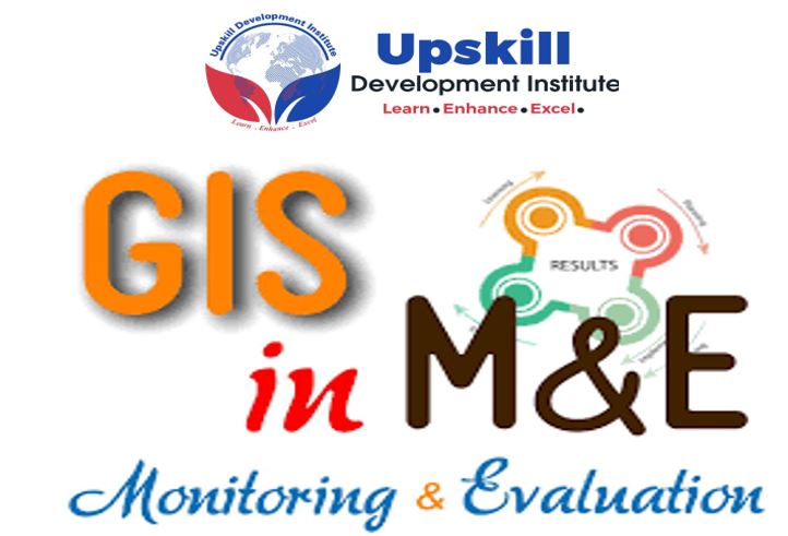
INTRODUCTION
GIS is a computer system capable of assembling, storing, manipulating and displaying geographically referenced information, i.e. data identified according to their locations. This training will present a practical guide for using a geographic information system (GIS) integrated with Monitoring and Evaluation.
The five days training is aimed at helping development partners to monitor and evaluate the activities of specific projects intended to support M&E systems for sustainable programs and projects. The use of GIS in monitoring and Evaluation improves the effectiveness and communications of results to management, funding partners, and beneficiaries.
The integration of GIS in monitoring and Evaluation makes it possible to link, or integrate information that is difficult to associate through any other means. With GIS M&E/Researchers are able to use combinations of mapped variables to build and analyze new variables. Presenting data in the form of a map helps to understand the significance of where, when, and by whom. By using the GIS to link data from multiple programs the training will make it possible to understand the individual programs better but also better understand the relationship between the programs. Spatial analysis techniques will also help with driving outcomes measures.
WHO SHOULD ATTEND?
The course is designed for representatives from government, project teams, NGOs, multi and bilateral development organizations, consultancies, etc, that are typically employed as project managers and directors, M&E specialists, technical specialists, and researchers.
DURATION
5 days
COURSE OBJECTIVES
The training will enable participants to;
TOPICS TO BE COVERED
Section one: An Overview of GIS and Monitoring and Evaluation
Section 2: New technologies being adopted in project M&E
Section 3: The GIS Interface
Section 4: Geographic Analysis of M&E data
Section 5: Thematic Mapping of M&E data
Training Approach
This course will be delivered by our skilled trainers who have vast knowledge and experience as expert professionals in the fields. The course is taught in English and through a mix of theory, practical activities, group discussion and case studies. Course manuals and additional training materials will be provided to the participants upon completion of the training.
Tailor-Made Course
This course can also be tailor-made to meet organization requirement. For further inquiries, please contact us on: Email: [email protected] Tel: +254 721 331 808
Training Venue
The training will be held at our Upskill Training Centre. We also offer training for a group (at a discount of 10% to 50%) at requested location all over the world. The course fee covers the course tuition, training materials, two break refreshments, and buffet lunch.
Visa application, travel expenses, airport transfers, dinners, accommodation, insurance, and other personal expenses are catered by the participant
Certification
Participants will be issued with Upskill certificate upon completion of this course.