
- TypeWorkshop

- Location Nairobi, Kenya

- Date 21-08-2017 - 25-08-2017
Education/Teaching/Training/Development
Research/Science
INTRODUCTION
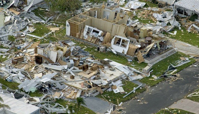
Information and Communication Technologies (ICTs) have improved prospects for solving technical problems through the use of Geographical Information Systems (GIS) for hazard mapping and modeling, the use of web-based data sources to facilitate research on disaster management and the use of searchable databases for hazard information. Not all Caribbean countries however have been able to fully utilize these opportunities.
This course aims to impact practical skills on how to use GIS, to overcome the major challenges faced in all phases of disaster management.
WHO IS THIS TRAINING INTENDED FOR?
The training is intended for professionals working in development areas mostly in DRM related fields.
DURATION
5 Days
TRAINING OBJECTIVE
Upon completion of the training, the participants will be able to describe and utilize spatial data through manipulating it in the phases of pre disaster, during disaster and post disaster.
TRAINING CONTENT
Module: 1 Disaster Management Concepts and Institutional Framework
Module: 2 Introduction to Geoinformatics
Module: 3 Applications of Geoinformation
Module: 4 Global and National Initiatives
Module: 5 Hazard Mapping, Monitoring
Module: 6 Disaster Management Planning and Emergency Response
Module: 7 GIS for Post Disaster Damage Assessment
CUSTOMIZED TRAINING
This training can also be customized for your institution upon request. You can have it delivered your preferred location.
For further inquiries, please contact us on details below:
Tel: +254 (0) 739167709.
For more details and updates please visit website.