Organize and Presented By
Indepth Research Services
Organizing/Related Departments
GIS
Organization Type
Organization
Training or Development ClassCategory
Both (Technical & Non Technical)
Training or Development ClassLevel
International
Related Industries
Education/Teaching/Training/Development
Research/Science
Agriculture/Agribusiness
Event: GIS and Remote Sensing in Agriculture, Food Security and Climate Change Course
Venue: Indepth Research Services, Mombasa, Kenya.
Event Date: 18th – 22nd June 2018
NITA CERTIFIED
RECENT CLIENTS
INTRODUCTION
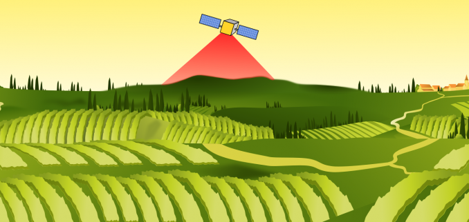
The main purpose of the course is to enhance the capabilities of technical staff involved in Food Security Analysis, climate analysis and agriculture by providing them with an understanding on the use of spatial and Earth Observation (EO) information as a tool to integrate knowledge about climate change, agriculture, and food security in a meaningful and innovative way.
COURSE DURATION
5 days
TRAINING OBJECTIVES
By completing this course, participants will be able to:
- Understand the basic concepts of GIS and Remote Sensing
- Understand concepts and main frameworks in Food Security Analysis
- Understand concepts and main frameworks in Climate Change Analysis
- Understand concepts and main frameworks in Agriculture
- Understand the relationship between climate change, agriculture and food security
- Apply GIS and Remote Sensing as Decision support tool for Climate Change, Agriculture and Food Security (CCAFS).
- Use GIS information in planning FS interventions through spatial multi-criteria analysis
- Assess spatial data availability and understand the importance of spatial data infrastructure (SDI), for data sharing by organizations involved in CCAFS
- Apply GIS and RS for designing implementations of large scale early warning systems
- Use participatory GIS (PGIS) tools during assessments at community level
- Apply remote sensing data and image processing techniques to monitor select CCAFS indicators
- Use mobile phones to gather data during field assessments/surveys
- Design and implement their own GIS projects that integrate remote sensing data and GPS-based field information
TOPICS TO BE COVERED
- Introduction to climate change, Agriculture, Food security and their relationship
- The impacts of climate change on Agriculture and food security
- Use of GIS in Climate Predictions
- GIS and Remote sensing in Agriculture
- Food Security Assessment and Analysis
- Global Positioning System (GPS) and Basic GPS skills
- Public Participatory GIS and data collection using mobile phones
Visit our website for more details
How to Participate
- Tailor Make a Course
- Register as an Individual
- Register as a Group
- Become One of Our Partners.
- Purchase Software
- Frequently Asked Questions (FAQ’s)
View related courses
- GIS and Remote Sensing in Environmental management, EIA and Audit Course
- GIS and Remote Sensing for sustainable forest monitoring and management Course
- GIS and Remote Sensing for sustainable forest monitoring and management Course
- GIS and Statistical Analysis for WASH Programmes Course
- GIS and Remote Sensing in Agriculture, Food Security and Climate Change Course
The most popular courses
- Livelihoods Assessment and Analysis Course
- Basic Fire Safety Course
- Effective Reporting of Statistical Results for Survey Data Course
- Training Course on Fundamentals of Public Communications
- Advanced Servers for ODK (Local and Cloud Installation) Course
- Early Warning Systems Course
- Procurement and Supply Chain Management Course
PAYMENT
Payment should be transferred to IRES account through bank on or before C.O.B. 11th June 2018
Send proof of payment to [email protected]
View GIS and Earth Observation Institute Course Catalogue
For any registration of 3 or more participants, we offer a discount of up to 25%.
Click here now to register.
For further inquiries email [email protected] or contact us on Tel: +254 715 077 817,
+254 731240802
ACCOMMODATION
Accommodation is arranged upon request. For reservations contact the Training Officer.
Email: [email protected].
Mob: +254 715 077 817
Registration Fees
Available
Registration Fees Details
1100 USD
Registration Ways
Email
Phone
Website
Address/Venue
Indepth Research Services, Mombasa, Kenya.
Pin/Zip Code : 00101